Fisherman’s Island
- At July 29, 2013
- By Guest Swagributor
- In Places
 2
2
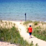
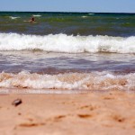
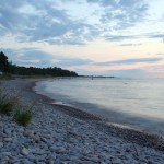
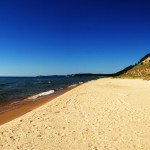
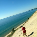
My family and I went on a camping trip over the weekend at Fisherman’s Island. We had a great site, which was right across from Lake Michigan with tons of rocks just waiting to be looked through for some Petoskey stones. If you drive down from our north campsite going straight and into the south part of it you’ll get to a beach. There’s a trail of dunes ready for you to climb to get to the refreshing water (don’t worry, it’s not a huge dune of doom or anything). It seems really rocky at first, but if you keep walking down the shore a little ways you’ll get to where the bottom of the water is pure sand.
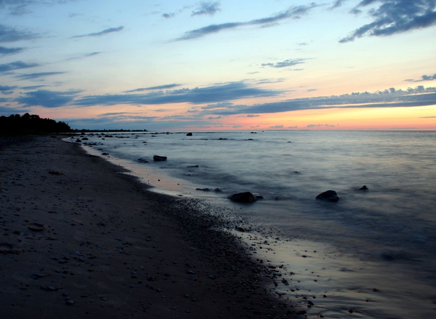
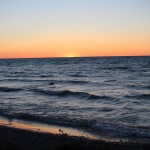
Now I’m going to switch subjects on ya here. The water I mentioned before, that was across the road from our site, has more rocks on the shore than sand! My mom and I looked through a lot of the rocks, and sorry to break it to you, but we didn’t find any Petoskey stones really. What we did find though, was some pretty darn cool fossils. There’s also something else I’d like to throw at you. Between the trees you can see the bright orange sunset bursting with color, with no buildings or civilization interrupting it (unless an annoying car passes by).
Since my Dad (aka Brian), does all the work and we just show up to eat and nap in the hammocks (which rock, you can get yourself one at the Totem Shop), I thought he should provide some of the details about Fisherman’s Island and car camping in general.
– Fisherman’s Island is just a few miles south of Charlevoix, right off 31. And no, it’s not actually an island.
– There are 2 campgrounds, north & south. The north one is where it’s at. Very few of the sites at the southern end are along the water and they’re packed pretty close together.
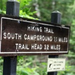
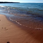
– The entire campground runs along the shore of Lake Michigan, but it’s all rocky. But don’t fret if you want to swim, there’s a beautiful sandy beach about a mile south of the southernmost campsites (with a hiking trail that leads to it if you prefer not to drive).
– I highly recommend making reservations, which you can do online. And another thing I recommend if you’re not familiar with the campground is to call the ranger station and ask what sites they suggest. There’s nothing worse than getting all geared up for a camping trip and finding out your site is lame. In fact, I do this routinely when visiting new campgrounds and have never been steered wrong.
– Use Ghirardelli chocolate squares for S’mores making, mmmm.
– Car camping is the ultimate activity for the lazy outdoorsman (not an oxymoron). Why schlep all your gear in a backpack when you can bring 10 times as much stuff crammed into your car?
– Do not think that car camping is cheap. The amount of food we bring with us for a weekend would pay for multiple nights out at a high-end restaurant. This is because the entire weekend consists of sitting next to the campfire or on the beach while reading a book and continuously supplying your mouth with a steady stream of junk food, encased meats, and beer.
– It’s tough to beat a weekend out in the wilderness with your family & Fisherman’s Island is a great place to do that.
- En route to the beach
- Hiking trails
- Beach time
- Cold beverages
- Crashing waves
- Burgers on the fire
- Gourmet S’mores
- Bunk hammocks
- Local wildlife
- Shoreline at dusk
- Sunset
- Euchre in the tent
Road Biking in the County
- At July 19, 2013
- By Kim
- In Kim's posts, Places
 0
0
I recently got a road bike. I’m pretty much in love and have been trying to cruise around “the County” as much as possible; enjoying the wind on my face, saying hello to the deer as I ride by, and feeling all Tour de France-like (until I get to a hill of course). There’s no shame in granny gear, right?
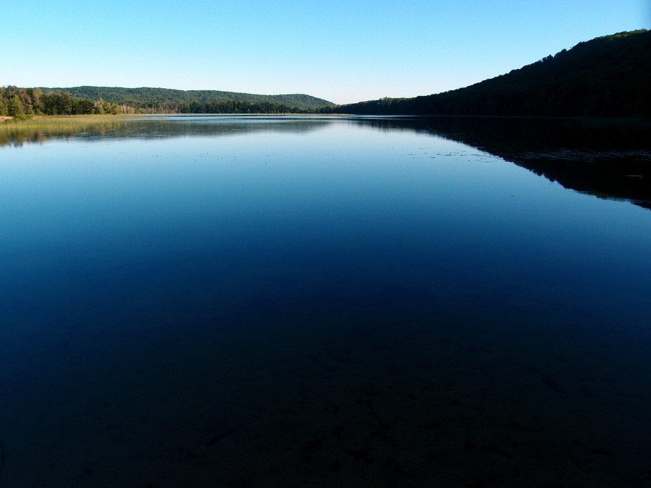
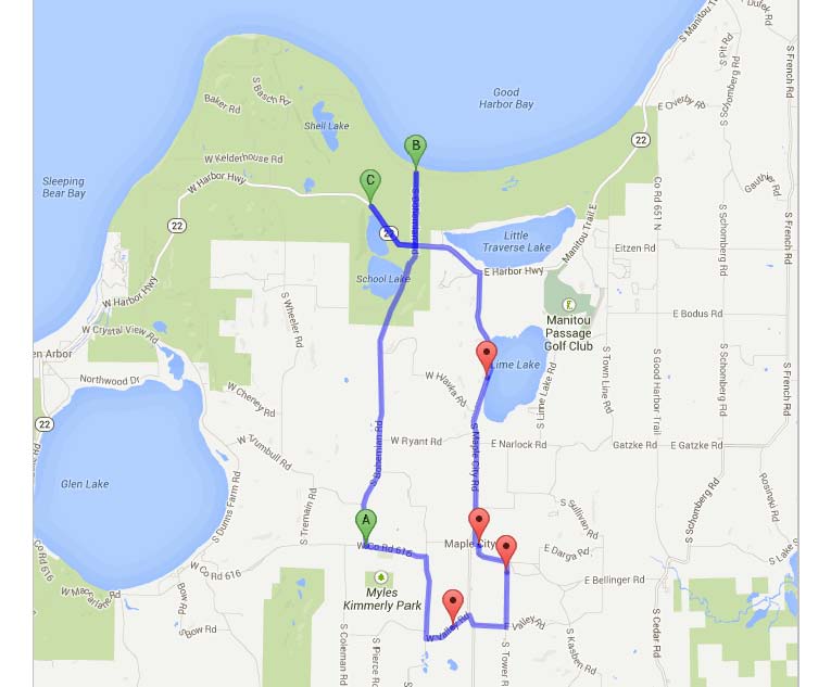
I was recently introduced to the little road trip below and it is definitely becoming a favorite for good reason. It is a hair under 20 miles and brings you by views (or photo-ops if you’re a shutter addict like me) of Lime Lake, School Lake, and Bass Lake and Lake Michigan (with the addition of a couple quick out-and-backs). For filler, the route provides plenty of gentle rolling hills and beautiful farmland. The roads on this ride, for the most part, are less-traveled with a nice smooth and wide shoulder. That said, the folks at M-22 apparently had seldom traveled the busy, narrow, curving shoulder of cracked asphalt by road bike before coining the phrase “M22 is the feeling you get when you realize there is no other place you would rather be.” Might want to channel your inner Tour de France on that section because trust me there are other places you’d rather be.
Stay tuned for more routes and we would love to hear some of your favorites!
Specific route details here and photos of the scenery along the way below:
- Lime Lake
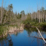
- Wetlands along Bohemian Rd
- Good Harbor Bay
- Shalda Creek
- Deer grazing in farmland
Arcadia Dunes – Old Baldy
- At July 18, 2013
- By Kim
- In Kim's posts, Places
 4
4
I have a summer bucket list (a list of things to do before summer kicks the bucket). Arcadia Dunes had made the list because of rave reviews and my desire to show some love to the other counties while exploring some new areas. Arcadia is a bit of a drive (close to an hour from Traverse City), but it is gorgeous and relatively quiet compared to the other dunes that have gotten a bit a lot of national attention lately. The entire C.S. Mott preserve, that this particular hike is part of, is 3,600 acres, which combined with the adjoining preserved farmland, makes it one of the largest conservation projects completed in the Midwest.
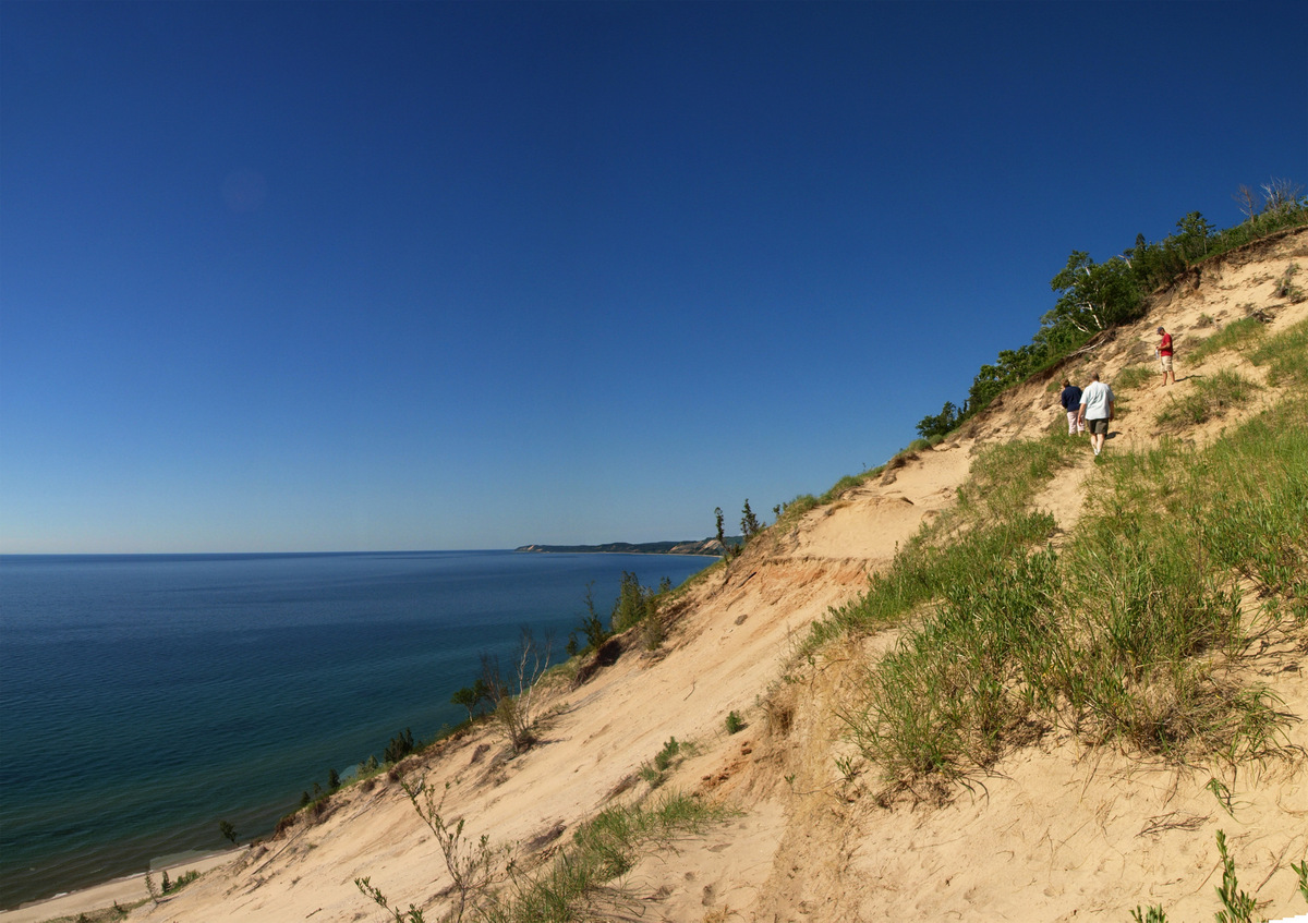
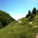
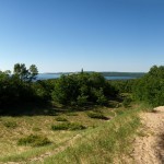
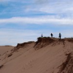
We headed off on the Old Baldy Trail, a hike that is about a mile one-way through wooded areas and grassy duneland, and leads to a breathtaking view of Lake Michigan from the top of the perched dune known as Old Baldy. For a “county girl”, used to always seeing our friendly Manitous out in Lake Michigan from similar lookouts, it was unique to look out at Big Blue and only see water for miles. To the north you can see the lighthouse in Frankfort, south are the actual towns of Arcadia and Manistee. Looking down from the top, there is an inviting beach that of course made me want to descend. A few hints about these types of descents down perched sand dunes:
1. Always remember; this is the opposite of rear-view mirrors: “Water at the bottom of this dune is WAY FARTHER than it appears”.
2. If you convince a reluctant participant to do the descent with you, AVOID eye contact at all costs on the climb back up. It will only open an avenue of release for the anger they may be feeling from calves of fire and lack of air in their lungs.
3. Don’t look up. It’s still (my mom reads this, so insert expletive word of choice) FAR, trust me. Keep crawling.
4. When it’s over, don’t say you will never do it again…because that blue water and sandy beach will always beckon you into a descent and climb of pain.
5. When you get home, don’t feel bad about cracking open a cold beverage of your choice and kicking your sandy, tired feet up. You have earned it.
With these tips in mind, you’d be amiss to not add Arcadia to your summer list. Make a day of it and visit some of the other areas of the preserve. Bring your mountain bike and try out the Dry Hill Trails on the East side of M-22 or your binoculars and bird nerd it up in the grassland area (parking along Keillor Road).
Footnote: Thanks to Matt Forschner for agreeing to the descent, for not killing me on the way back up, and for some of the photos below.
Pyramid Point
- At June 30, 2013
- By Brian
- In Brian's posts, Places
 0
0
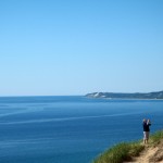
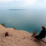
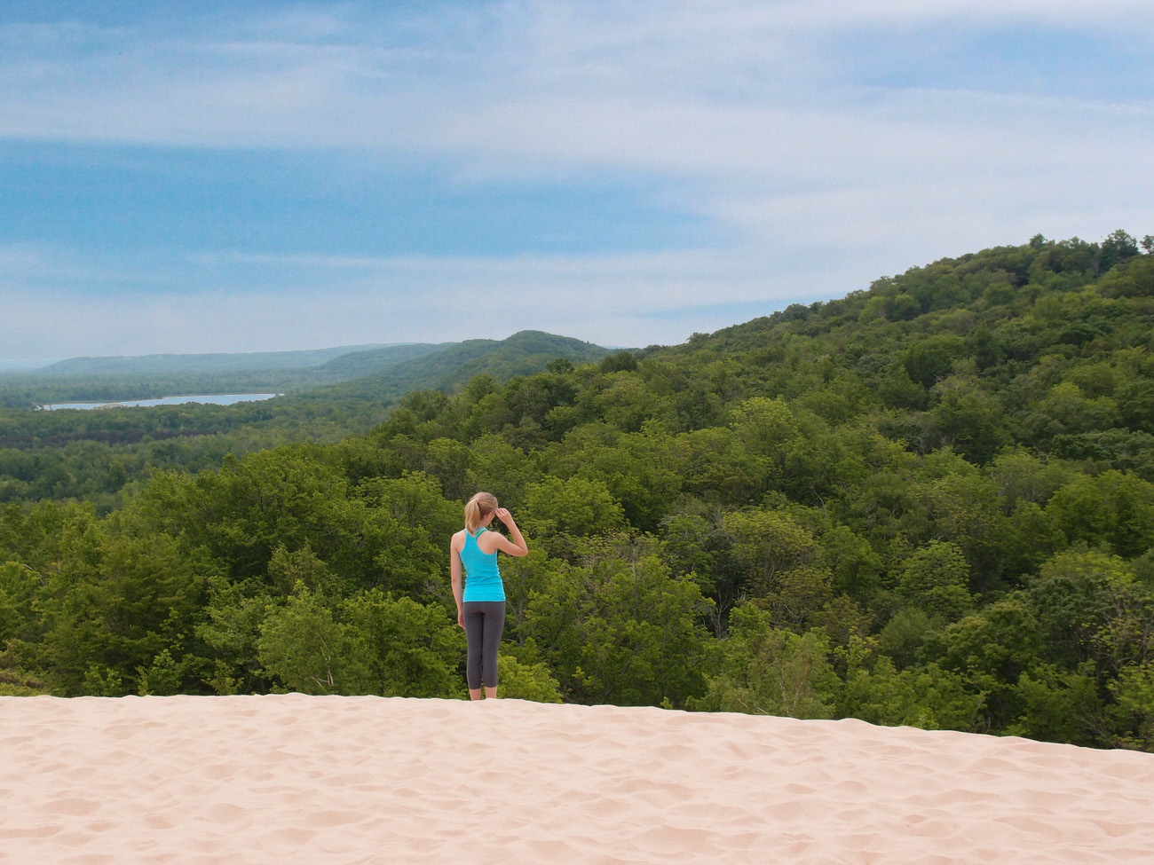 When I think of Sleeping Bear Dunes National Park being named the Most Beautiful Place in America, I instantly think of Pyramid Point. This hike and overlook is, to me, the epitome of what the National Lakeshore has to offer; diverse wildlife, beautiful woodlands, pristine sand dunes, and stunning overlooks high above Lake Michigan & Sleeping Bear Bay. But as a local what does this mean? It means I never go there. Because my perception is that it’s always crowded.
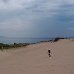
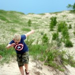
When I was out in Glen Arbor recently, after participating in the Solstice Run, I decided to head out to the Point for the first time in a couple years, fully expecting to deal with throngs of tourists on a Saturday in June (disclaimer: I’m not complaining about tourists because they make up 531% of our economy, but that doesn’t mean I have to hang out with them). But it turns out that 111 square miles of pristine wilderness is enough for everybody. Sure there were a few people out, but not nearly as many as I anticipated. And once we’d soaked in enough of the view from the primary look-out spot we headed down some of the other trails in the area that I’d never been on. After a short hike along the dunes we found ourselves on another lookout point with nobody else in sight. The only thing missing was our foresight to pack a picnic lunch.
So while I still like to track down the more “under the radar” spots around Northern Michigan, my fears of hiking alongside thousands of tourists have been alleviated. Sleeping Bear Dunes deserves its title and because of that it’ll be routine stop for us this summer.
Helpful tips: The hike up to Pyramid Point is heavily wooded, meaning mosquitoes – so pack bug spray. Stay on the trail, we saw plenty of poison ivy. Don’t hesitate to bring the kids – while there is a bit of walking to get to the top, the 5 kiddos we had with us, ranging in age from 3 – 11, made it no problem even with the extra adventures we did at the top.
- Birch trees on the trail
- View to North Manitou
- Sand bowl
- Sand meet trees
- Grass
- Wild cherry
- Beach pea wildflower
- Jack in the pulpit
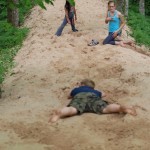
- Face plant – don’t run too fast
- Walking the ridge
- Balancing Act
- North Manitou
The Wonder of Port Oneida
- At June 21, 2013
- By Kim
- In Kim's posts, Places
 2
2
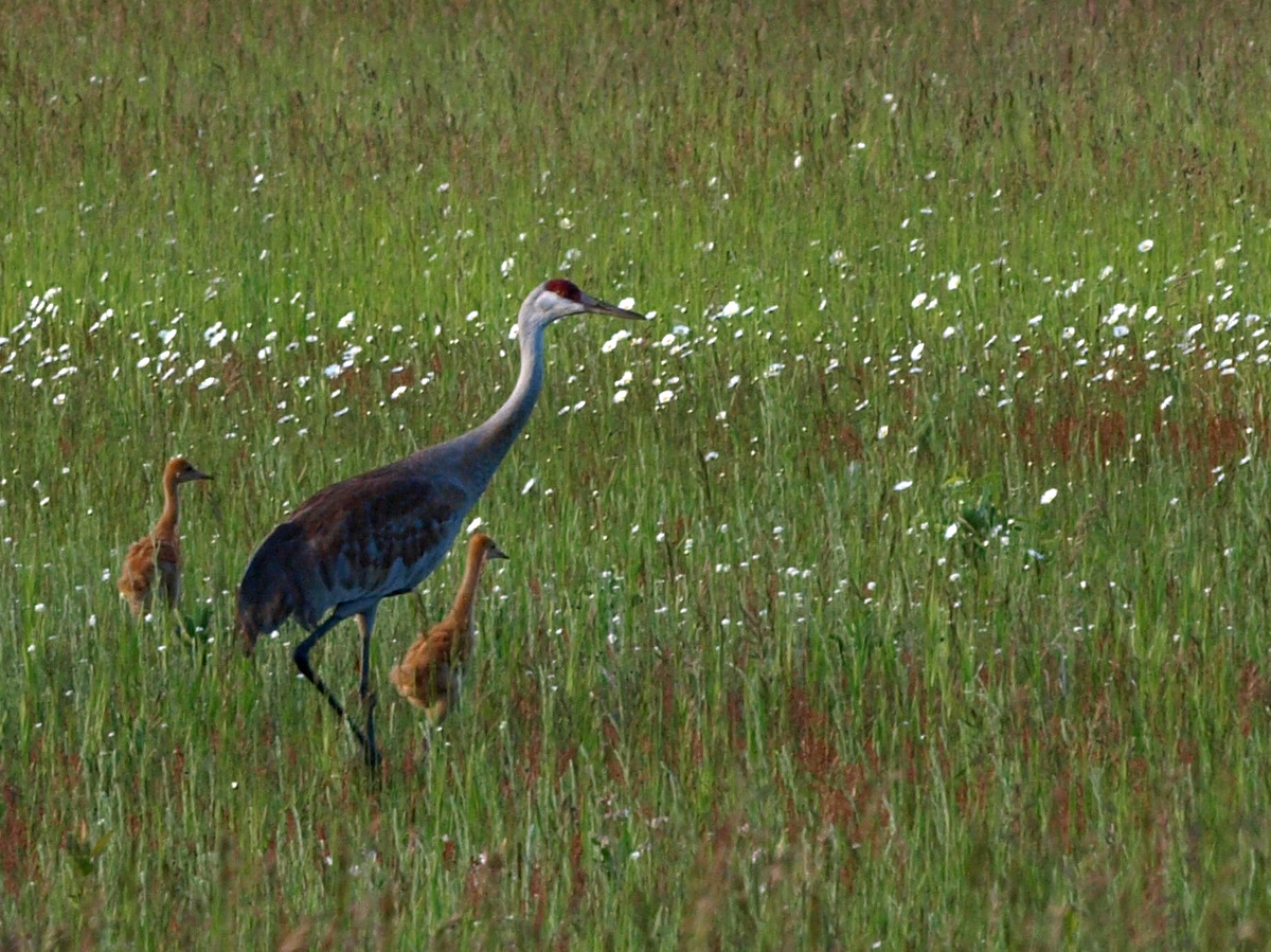 Port Oneida Rural Historical District, in the Sleeping Bear Dunes National Lakeshore, always creates a sense of wonderment in me; wonderment about the lives that were led here years ago and about the natural rhythms that occur there today. It’s not every location that you can find so much in front of your eyes with the smallest of efforts. I was headed out to the Port Oneida beach to take photos of a friend’s child and spotted sandhill cranes in one of the fields along the way. I had never had the opportunity to see these creatures before, so was…how should I describe it?…as giddy as a school girl to see them, and even giddier to realize those brown spots in the tall grass were two baby chicks. What a reminder to look around and enjoy the little pieces of wonder all around us.
- Historic farmhouse
- Wildflower
- A kettle of birds
- Lake Michigan shoreline
- Mom, Dad, and one chick
- Mom (or Dad?) and chick
- A chick amongst the grass
- Rising moon

