Da Yoop Part Trois – Isle Royale (4 years later)
- At August 22, 2017
- By Brian
- In Brian's posts, Camping, Places
 1
1
Four years ago, my friend (& occasional Swag photo contributor) Jason and I spent a week in the UP and chronicled that trip in two posts, Da Yoop Part 1 & Deux. That adventure with Jason originally started as a proposed visit to Isle Royale, but we couldn’t get away for long enough to make traveling to the island worth it. However, we never stopped plotting, and finally last winter, we circled a week on our calendars in mid-August to head to the island.
The following is a very long post detailing this trip. if you’re interested in the TL;DR version – Isle Royale is amazing, the ferry ride is not if it’s wavy. The weather is unpredictable (literally) & the trails were more technical than we anticipated. We had an absolute blast.
Day -221 +/-, sometime in late January 2017: Jason and I meet up to start planning. We pick our dates and our proposed itinerary and buy our ferry tickets. Queue 7.5 months of anticipation.
Day -10, late July: For the past 211 days Jason and I have texted almost daily about this trip, but now the weather forecast on my iPhone includes the first day we’ll be on the island so I start obsessively checking it every few hours and we text constantly. Awesomely, the forecast changes drastically a few times a day so using it to help in deciding what clothes to bring is essentially worthless. The decision is made to bring all of my clothes. All of them.
Day -1, Sunday: I finally pack my gear. I try to cut out unnecessary items, but regardless, my pack weighs around 3,000 pounds.
Day 1, Monday: Get up at 4:45am to load the car up and drive over to Jason’s to pick him up and then start the 8-hour
drive to Copper Harbor. We camped at Fort Wilkins State Park, about a mile east of downtown Copper Harbor. Most importantly, we mosey over to Brickside Brewery in Copper Harbor, and after a long drive, we drink a few too many beers. This becomes significant on Day 2.
Day 2, Tuesday: We woke up a little before 6 to break camp, organize our packs, and get to the ferry by 7am. We checked in and had plenty of time to grab some coffees before loading up and heading out 56 miles across the lake.
The weather on Superior was windy and the 3-foot rollers not only had me struggling to keep my breakfast down, but extended the typical 3 hour 15 minute ride to 4 hours. Awesome. When I return to the island in the future, I think I’ll opt for the 35-minute flight by seaplane from Houghton. To be clear, the Isle Royale Queen IV Ferry and staff were top notch. The ferry was roomy, had a snack bar, and the staff were efficient and friendly. It’s just the Lake Superior waves I have issues with.
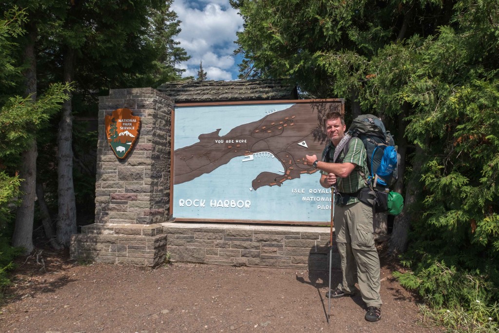
We arrived in Rock Harbor, which is on the south side of the eastern end of Isle Royale, to clearing blue skies. There, we got the lowdown from a park ranger and were on our way. Fortunately Jason and I were on the same page for this trip, our goal was to find an awesome campsite and hunker down and chill, as opposed to those with more ambitious persuasions, like hiking the length of the 45-mile island. We had multiple books and no cell service, the perfect setup for a relaxing 5 days on the island.
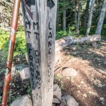
After lots of online research over the previous winter and spring, we decided our destination was going to be Lane Cove on the north side of the island, which with its northwest facing sites would give us some nice sunsets. We had read somewhere online that “Lane Cove is worth the hike,” and we focused on the part of that statement that meant Lane Cove was probably a great camping spot, not that it was potentially challenging to get to. We were so young and naive.
The hike was 6.9 miles and according to the topo map, definitely had some climbing and descending, but the distance wasn’t significant and hey, this was Michigan, right? There’s no extreme elevation changes here…
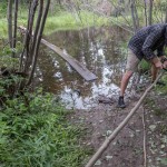
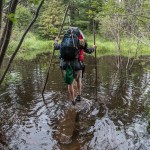
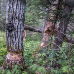
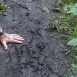
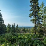
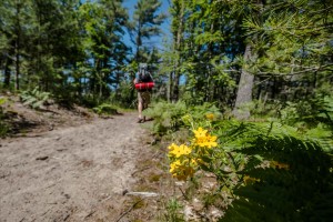
After a pretty easy first 3 miles heading west along Tobin Bay, we turned north knowing we still had to summit Mount Franklin and then a few more ridge lines before arriving at our site. The climb from the south side wasn’t too bad, the worst part being some slippery rocks and quite a bit of deep mud, but the descent down Franklin was brutal. It consisted of steep, rocky, rooted switchbacks. With our heavy packs and hangovers, we were in pretty rough shape with a little over 2 miles still to go. The last couple miles was a combination of climbing ridges and crossing water on narrow, slippery boardwalks. After a lot longer than we thought it’d take, we arrived at Lane Cove. We were on the island for 4 nights, but Lane Cove has a 3 night max. Fortunately we had a XC permit, meaning we could camp in the backcountry, outside of the campground. So we headed farther east a bit and set up camp in a small clearing, before snagging a site back at the campground the next morning.
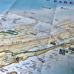
- The route
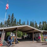
- Rock Harbor
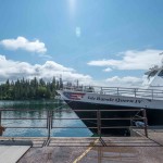
- Queen IV Ferry
- Ready to roll
- Jason cutting poles for the water crossing
- Underwater boardwalk
- Beaver work
- Fresh moose prints
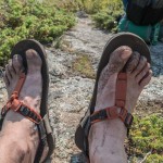
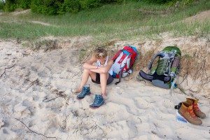
- Tired, dirty, (& gross) feet
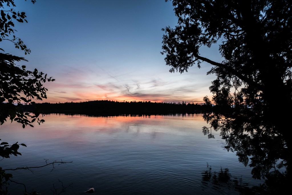
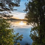
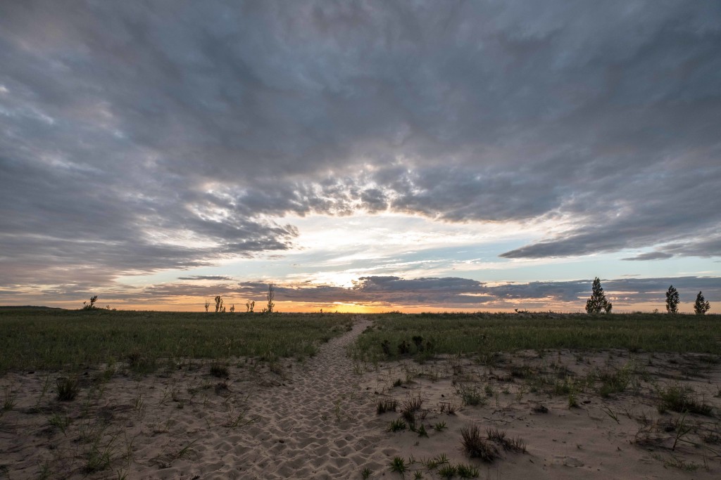
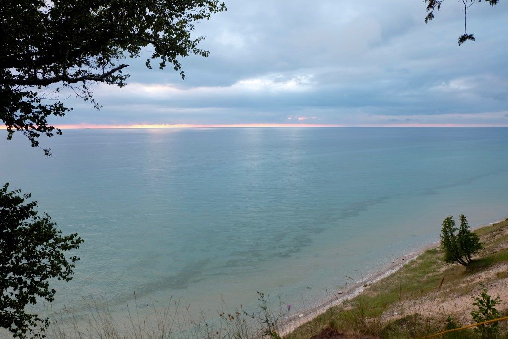
- Sunset on Day 1
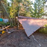
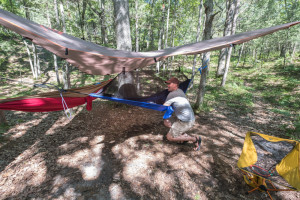
Day 3, Wednesday: We were so wiped out the evening before, we ate a quick meal and went right to sleep. We didn’t even crack open any of the 4 pints of beer we’d carried in (along with enough bourbon to kill a horse). It rained a tad Wednesday morning, but we were dry and warm under our tarps in our hammocks. We set up camp at Lane Cove and the skies cleared and we set about getting all our gear organized, swimming in the lake (kind of, the water was 48 degrees), and doing a little laundry.
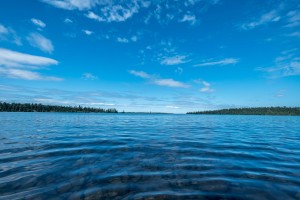
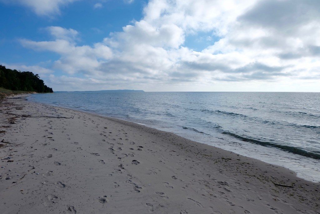
- Lane Cove
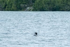
- Lane Cove resident Loon
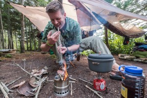
- Jason getting the twig stove going
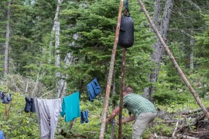
- Setting up the shower
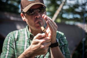
- Time for a cigar…
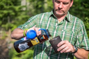
- …and some bourbon
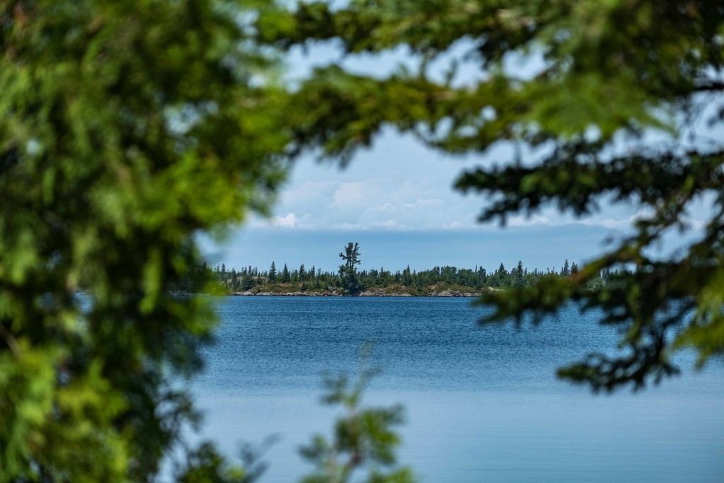
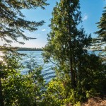
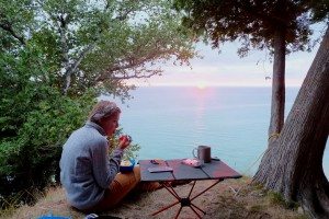
Lane Cove was all we’d hoped and more. The sites were very private and from ours (site 3, the best one in our opinion, followed closely by sites 4 & 2, in that order) we had an awesome view out over Lake Superior and towards a few of the hundreds of little islands that surround Isle Royale. There was even a nice long bench to use, which none of the other sites had.
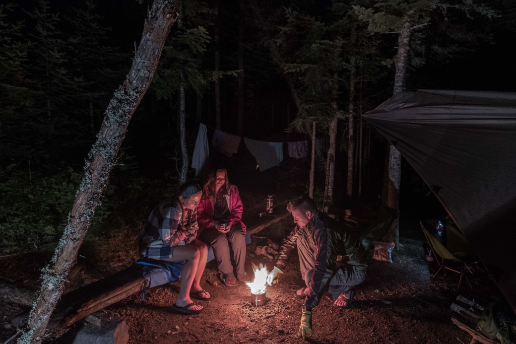
Despite being the least visited national park in the lower 48, being peak camping season we knew the island would be busy. So it wasn’t unexpected when 3 young women came strolling into our site informing us that the campground was full (all 5 sites) and asked if they could share ours. Our site was huge so there was plenty of room. After getting their tents pitched, we all sat around the twig stove (camp fires aren’t allowed in most campgrounds) and shared some bourbon. Before we knew it, we had drank almost all of our week’s worth of booze and it was later than I’ve stayed up in I don’t know how long! Time flies when you’re having fun and making new friends, that’s for sure.
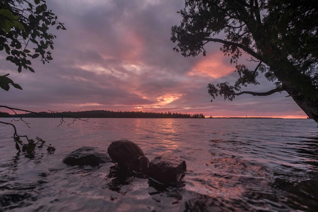
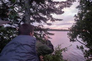
Day 4, Thursday: It was a good thing we made the most of enjoying the beautiful weather the day before, because it rained almost the entire day Thursday. We got out of our hammocks just a handful of times to make food, otherwise spending the entire day listening to the rain hit the tarp while enjoying our books. Right around sunset however the rain let up and the clouds broke a little and we were able to grab a few photos.
- Fog & Rain in Lane Cove
- Clouds breaking right before sunset
- My photo of Jason taking a photo. Meta
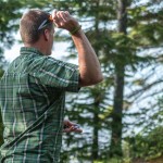
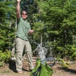
Day 5, Friday: This was our last full day on the island and it ended up being the nicest weather all week. It was sunny all day and felt to be in the 70s, with a slight breeze that did a decent job of keeping the (massive amounts of) mosquitoes at bay. Before arriving on the island, we had planned on doing some day hikes to check out some of the surrounding area, but what we didn’t know until we got there is that there aren’t very many trails on the island, really, just the main ones between campgrounds. To go anywhere else we would have had to hike back up Mount Franklin, and to be honest, we were just too lazy to do that, especially since we’d be doing it again the next morning to get back to the ferry. So we just hung out and killed some time. Jason had some throwing knives that we quickly learned we were terrible at throwing. We also invented a pretty sweet new game where you throw rocks into a bucket of water. We swam a bit and did some reading, but in every sense of the word, we chilled.
- Playing with knives
- Warm sun, COLD water
- Passing time
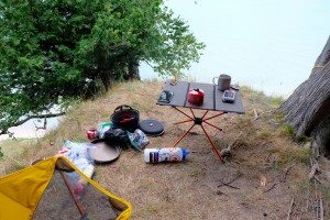
- Our setup for the week
- Sunset
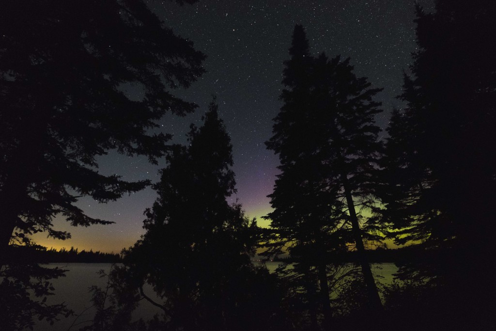
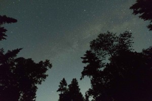
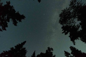
We also spent most of the day keeping our fingers crossed that the clouds would hold off so we could do some night photography as obviously somewhere as remote as Isle Royale is going to have minimal light pollution. We not only lucked out with the weather, but were also surprised to see some pretty decent northern lights.
Day 6, Saturday: After such a self-inflicted miserable hike in, we awoke Saturday refreshed, well fueled, and well hydrated, ready to hike back to Rock Harbor and take the ferry to the mainland. Also, our packs weighed about 20 pounds less after consuming all of the alcohol and food we’d packed in. It was another beautiful day, and we made the hike much more quickly, and much less painfully, than we had on the way in. We arrived to Rock Harbor early enough to grab a bite to eat at the Lodge before hopping on the ferry back to Copper Harbor. Our reward for sleeping in the woods for 5 nights was a stay at the Fitz in Eagle River Saturday night before making the long drive home Sunday morning. After an amazing meal and some Scotch, we headed up to our room and I promptly went comatose until the next morning.
- Bye, Lane Cove…
- The view from Mount Franklin
- Departing Rock Harbor
- Riding the ferry
Epilogue: Two of the most interesting things the ranger told us upon our arrival at Isle Royale was that the island is the least visited national park, and has the highest rate of return visitors. After spending 5 days there, that makes total sense. I say this while keeping in mind that’s it’s no easy feat to get there: 8-hour car rides aren’t exactly fun, and 4-hour ferry rides through Lake Superior’s giant waves are downright miserable. But despite that, I will be back. There’s one thing I’d potentially change though; many visitors explore the island by sea kayak and that’s what I’d do next time for sure. Isle Royale is surrounded by hundreds of smaller islands, all of which looked like they’d be a lot of fun to check out. Plus, there are campsites that you can only get to by boat. You don’t even need to drag your own kayaks all the way out there as you can rent them at Rock Harbor & Windigo (the two primary ports). The challenge to this would be the weather. A park ranger fortunately confirmed that I wasn’t misinterpreting the weather forecasts, they change almost hourly and shouldn’t be relied on – prepare for everything. The day before we arrived, it hailed M&M sized hail. No joke. But during a sunny, calm weather period, traveling around the island by kayak would be a lot of fun I think.
My MVP award for the trip goes to two things/people: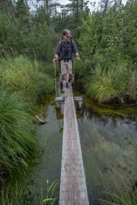
1) Jason suggested bringing hiking sticks. I’d never used one but figured it wasn’t a bad idea, even if we didn’t walk with them we could use them to hold up our tarps at camp. So we split a pair, each having one, and it made the hike much easier, especially on the ascents and descents. People that use them are definitely saying, “duh,” but this was eye-opening for me.
2) My Bedrock Cairn Adventure Sandals. I usually prefer hiking in trail running shoes over boots, and for the first part of the trip my Adidas waterproof running shoes did a great job handling the rocky terrain, especially on the steep, wet sections. But once our feet started to get submerged due to the high water levels at some of the boardwalks, I took (what I thought was) a chance and put my Bedrock sandals on. Despite my heavy pack and the technical terrain, my feet felt amazing. I highly recommend them. We don’t advertise on this website, but if the fine people at Bedrock want to send me and my friends some sandals, that’d be awesome.
As always, after a week away from friends and family, it’s nice to be home. But Isle Royale was so much fun I’d be lying if I told you that I wasn’t already running through different dates in my head to try and get back as soon as possible. With how much work it takes to get there, it’ll probably be a year or two, but I can’t wait for when that time comes.
White Pine Campground
- At June 28, 2017
- By Brian
- In Brian's posts, Camping, Places
 0
0
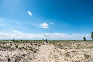
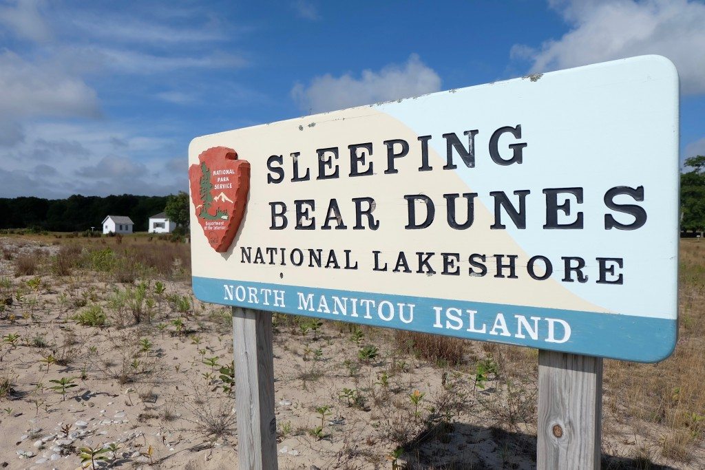
Sleeping Bear Dunes National Lakeshore is, as we all know, one of the most amazing places in the country…heck, the world (sure, we’re biased). That means that in the summer it can feel a little crowded due to its popularity and maybe you don’t want to get up at the crack of dawn to wait in a line of cars for hours to get a campsite at DH Day. Maybe you want something more remote. Of course, you could hop on the ferry to head to one of the Manitou Islands. Or…you could go to White Pine, the only backcountry camping site in SBDNL not on an island, and easily one of the most accessible backcountry campgrounds I’ve ever visited. Yes, there were 2 backcountry campgrounds in the Park, but the famous “Storm of August 2015” caused enough damage to the other one that it’s now closed, leaving only White Pine.
A couple years ago we hiked the trail from Peterson Beach to Bass Lake that goes through White Pine, and ever since I’ve been itching to go back. Well, an upcoming trip to Isle Royale actually prompted our visit last weekend as an easy and accessible way to test out some new gear for the trip way up north in August.
Permits can be obtained at the Platte River Campground Ranger Station during the summer, and are $10 each. There are only 6 sites at the campground, but I’d heard it isn’t very busy, so wasn’t overly concerned. We arrived at the ranger station around 2:30 in the afternoon and were actually lucky to get the last permit!
You can access the trail to White Pine either from Peterson Road or Trails End Road, both are off of M-22 south of Empire. We elected for Peterson Road since it was a shorter hike, about a mile versus a little over 2. Our plan wasn’t to get some mileage in, but to see how much beer we could carry, so the shorter the better.
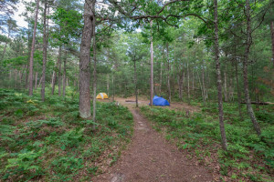
The hike in from Peterson is a little sandy, making the trip even more slow going than just due to the fact that we decided to carry a cooler in with us. We overpacked on beer, and after drinking one before our hike, we just couldn’t bear to leave any in the hot car where it would most likely perish from the heat. So yeah, we carried a heavy-a$$ cooler into a backcountry campground. Epic or ridiculous? You decide.
- Pre-hike beer
- Trailblazing
- The view at Peterson Beach
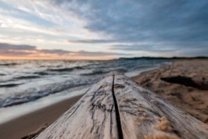
The weather was warm and muggy, so immediately after getting camp set up, we walked down to the beach on Lake Michigan to cool off. The NPS website states the beach is about a half mile from the campground, but I think it’s closer to a third of a mile, so not that far at all. Then it was back up to camp to cook dinner. We cooked our meal at the communal fire ring (fires aren’t allowed at the individual sites) and made a couple new friends while hanging out. Then we sat in our chairs for an hour or so trying to avoid the persistent food coma from overtaking us. By then it was nearing sunset, so we headed back down to the beach to get some photos.
- A typical campsite
- Setting up camp
- Heading to the beach
- Starting the fire
- Cooking dinner
- Beach at sunset
Sleep came easy in our hammocks as they swayed in the light breeze. I even slept in until around 7:30, which never happens. We awoke to a sunny crisp morning and after some coffee decided to break camp and get back into town as we had some other responsibilities to attend to. For the hike back to the car, we decided to take the beach, walking along the firm sand with our feet in the surf.
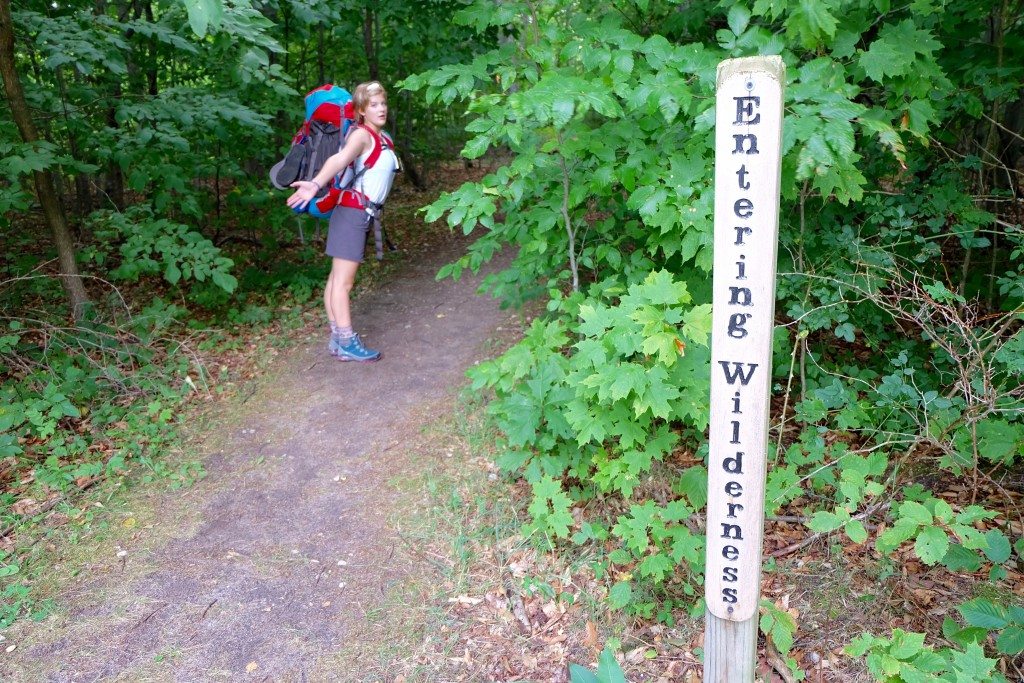
- Signage
- Heading out
- Beware of the sand!
I spent the whole drive back into TC running through different dates in my head as to when I could get back to White Pine. It’s really a great option for families with small kids who want to do some backpacking, or for the backpacking novice, due to the fact that it’s such a short hike. In fact, at the campsite next to us was a couple with a baby and toddler, all who seemed to be having a great time. So hopefully I’ll be back, with the whole family, really soon.
North Manitou Island
- At June 01, 2017
- By Brian
- In Activities, Brian's posts, Camping, Hiking
 1
1
After a little over 10 years since my last trip to North Manitou Island, I recently had the opportunity to return for a 3 day trip with my adventuring partner, my daughter, Izzy.
If you’re not familiar, North Manitou is one of 2 islands (the other being…South Manitou!) off the coast of Sleeping Bear Dunes National Lakeshore, in Lake Michigan. It’s about an hour ferry ride from Leland to the island. Upon arrival, you’re greeted by a ranger who gives a brief rundown of the rules, like no campfires outside of the 2 designated fire rings, no camping within 300 feet of the water or trails, and that if you didn’t pack enough food the only extra that the rangers have is an undated tin of SPAM. Then you’re off!
One of the many things I love about North Manitou is that wilderness camping is allowed, meaning you do not need to camp within a campsite, a.k.a – you can camp anywhere (subject to the aforementioned rule of being 300 feet from water and trails). In comparison, on South Manitou you can only camp at campsites. With almost 15,000 acres of wilderness, finding a quiet spot away from the other travelers is not an issue, at all. In fact, over our 3 days on the island, despite being peak season, we saw very few other people.
Our trip began with an arrival in Leland on a Saturday afternoon, fully stocked up on gear and excitement. The direct ferry to North Manitou leaves the dock next to Manitou Transit in Fishtown a little before 2pm, putting you on the island around 3. By 3:30, after a brief chat from the park ranger, we had our packs on and headed into the wilderness.
Our day 1 goal was to reach the west side of the island, find a remote site overlooking the water, and take in the sunset. In order to do so, we headed south about a mile before turning west on the main trail that cuts across the Island. After a little over 6 miles, we found the beach at the Crescent City ruins, which features rolling dunes down to the water. Having never been to this part of the island, we didn’t know what to expect, but once we realized there were already a few sites established in this area, we decided to keep moving and find something more remote. So we headed south along the beach.
- Almost to the beach
- We made it!
- A short break before carrying on
Once leaving Crescent City, the bluffs along the water became very steep and the beach rocky, making our travels more difficult, especially with our packs, which after a couple hours of hiking felt like they weighed 200 pounds. We diligently looked for a trail up the bluffs and after about a mile found a steep path up, which led to a perfect little outcrop high above the water. This was the spot we’d been hoping to find; great view, 300 feet from the water but close enough to see it, nobody in sight, and near a game path that appeared to head in the direction we wanted to go the next day. It was time to set up camp, chow, and relax while taking in a mostly overcast Lake Michigan sunset. You can see our day 1 trek and campsite here: North Manitou Day 1.
- Dinner prep
- Tofu sausage!!
- Not a bad place to eat
Day 2 started with a short trek on some game trails through thick fields and woods until we connected to the main trail heading back south and then east across the Island. The goal was to find a nice site along the east side of the Island to set us up for a nice short hike to the ferry the next day so we wouldn’t feel rushed in the morning. Where a lot of the west side of North Manitou is defined by steep bluffs down to the water, the east side has less severe elevation changes with wide beaches. The beaches aren’t quite 300 feet wide though, so setting up camp in the woods is still required in order to meet the minimum distance from water mandate. After about 6.5 miles we found our spot. There was a little ridgeline in the trees we set up our tent on so we could see and hear the water while we hung out at camp. Again, we didn’t see any other people on the beach the entire evening. You can see our day 2 hike and campsite here: North Manitou Day 2.
- Route planning
- Hikin’
- Enjoying the canopy
- The beach near day 2’s camp
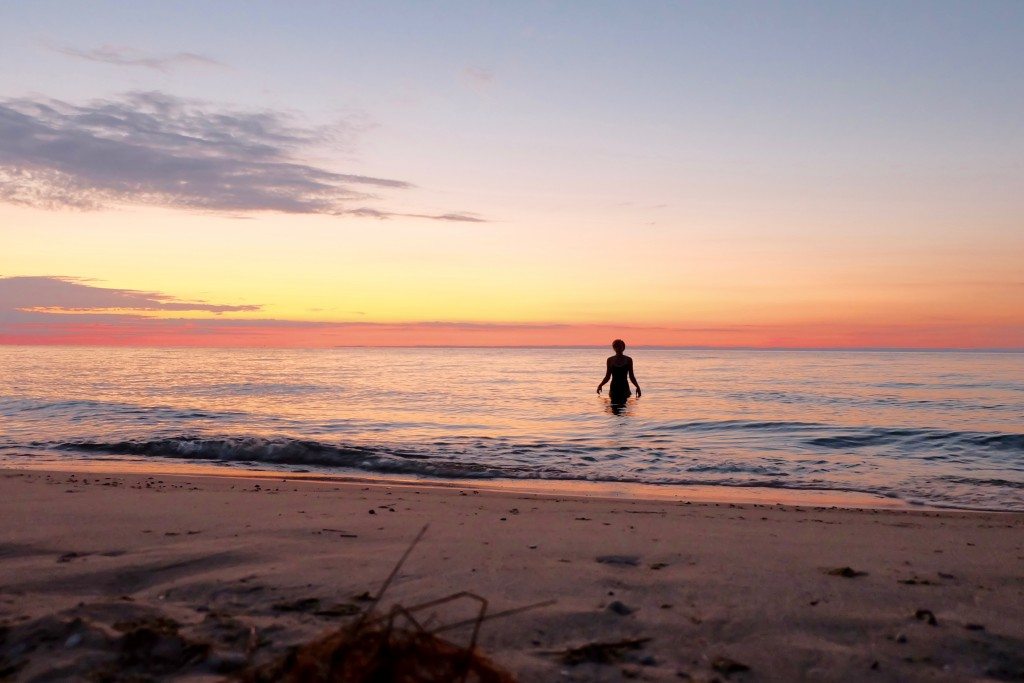
Since we were on the east side of the island and couldn’t take in the sunset, we decided to get up early and enjoy the refreshing waters of Lake Michigan during sunrise.
After that, it was time for (lots of) coffee, breakfast, and to pack everything up and head back to where the ferry would pick us up around 12:45. We could see the dock from camp, but it was a little difficult to tell how far away it was, so we got an early start, only to end up at the pickup location about 3 hours early. Tragically, it was a gorgeous northern Michigan summer day so we were forced to lounge on the beach and take repeated swims in the crystal clear waters while we waited for the ferry. Here’s our short hike back to the ferry pickup on day 3.
- Last couple miles!
- The beach near the ferry pickup
- The dock where the ferry arrives
- Keeping cool
We had an amazing 3 days and are anxious to go back. Our only regret was that we didn’t stay an extra night or 2, but the anticipation of sandwiches at the Village Cheese Shanty in Fishtown made us glad we were heading back to the mainland! North Manitou is such a great trip because it feels isolated and remote, but is relatively easy to get to compared to other remote places to camp. I’ve found it’s very easy to find great sites overlooking the lake, without having to deal with a lot of other people around. With how popular the Grand Traverse area is now, that’s not exactly an easy feat. Between how beautiful the island is, how remote it feels, and how easy it is to get to, I’d rank it as easily in my top 3 camping spots.
Alright, enough rambling. If you want to go backpacking, here are my random tips and thoughts.
– Don’t overpack on clothes. Since it was summer we were able to wash our hiking clothes in the lake and they’d dry overnight, meaning we didn’t need to pack a change of clothes for every day we were on the island. We also only needed to bring one midweight insulating layer each since the weather was forecast to be pretty warm, even overnight.
– Another way to save weight is remove all the packaging you don’t need from your food. For example, we had 2 boxes of Mac n’ Cheese, which we dumped into one ziploc bag and avoided bringing the multiple boxes. This doesn’t seem like much, but it adds up quickly if you’re carrying multiple days worth of food. Another thing I do is pack an entire days food in one giant ziploc. That way I know all the food I need for that day is all together.
– Keep your pack organized! There’s nothing more annoying than stopping mid-trail and removing everything from your pack because you put the band aids at the bottom. Thinking ahead and putting things you will likely need near the top or near a zipper will save you a lot of hassle.
– If you’re on North Manitou near the shoreline, or hiking anywhere where fresh water is prevalent (like along a river), you can avoid carrying a lot of water (it’s heavy!). Just bring a filter and filter it as needed. In addition to my MSR filter, which works great, I carry one of these LifeStraws for quick drinks out of the lake!
– Invest in a good stove. I’ve had the MSR Pocket Rocket for over a decade and it still performs flawlessly after tons of use, is lightweight, and boils water fast!
– Another great thing about North Manitou is there are not any bears. Not that I’m proposing you be afraid of bears, as obviously an encounter even on the mainland is unlikely, but if you’re anywhere that bears could be, certain precautions need to be taken. These include: hanging food from trees, packing a bear proof container, and making sure no food is on your clothes while you sleep or in your tent. It’s nice to just not have to worry about that while camping.
– I like to keep meals simple. The focus of our days was on hiking and swimming, not prepping food. Usually we ate after being on our feet for a few hours so it was nice to be able to have dinner ready with very little prep. But some people like to do the gourmet thing, and that’s totally cool. Just keep in mind that if you’re putting in long hikes with a heavy pack you’ll be really tired and hungry once you get to camp and taking a long time to make a fancy meal might be the last thing you want to do.
– Bring a good book. I took a chance on a book I was unsure on and it ended up not being that great, which meant I didn’t really look forward to reading it & was essentially just carrying around an extra pound of gear with no purpose. This is obvious, right and I’m just a moron? The answer is yes.
– Despite my previous suggestions on being weight conscious, I do like to bring a table and chairs. It’s not always easy to find a good log or stump for sitting or prepping food on, so I bring these luxuries with me. I use and highly recommend the Flex Lite table and chair from REI.
– And here’s one thing in contrast to my first point that you won’t see a lot of people advocate, I brought my 3-person tent for 2 people (but hey you saved weight on clothes and food packaging!). The extra space was awesome and we were able to comfortably spread out, which was nice considering it was pretty warm, even overnight. The difference between my 2 person (more like a 1.5 person) ultra-lightweight backpacking tent and my 3-person tent is less than 2 pounds. Totally worth it!
Feel free to leave a comment or email us if you have any questions or comments, we always love to hear from our readers.
Winter Camping: Polar Vortex Edition
- At December 29, 2016
- By Brian
- In Brian's posts, Camping
 4
4
I like to plan ahead. That means when a friend and I started discussing winter camping way back in October, I whipped out my calendar and we circled a weekend in December that looked good. Fast forward a couple months and the days leading into our trip saw temperatures drop into the single digits and heavy snowfall hit the region. But this was it, the big camping trip! So did we wisely decide to reschedule in hopes of more moderate weather?! No way!
Let me provide you with some background. I’ve been camping since before I could walk and spend a lot of time outside. But, I’ve never (successfully) winter camped (I did have one attempt a few years ago thwarted by gale force winds). So this has been on my to-do list for a long time and I was really anxious to make it happen. Enter Jason, a long-time friend and new Northern Swag contributor (bio coming soon!), who is a former outdoor guide in Alaska and has vast outdoor experience and mad survival skills. So when we saw the weather forecast for our trip shape up to be pretty cold, confidence & motivation remained high and we weren’t deterred.
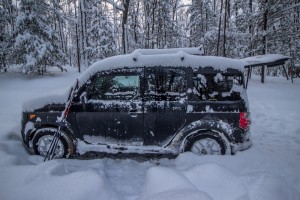
Our location, Guernsey Lake State Forest Campground, nestled next to the Sand Lakes Quiet Area, was selected due to my familiarity with the sites, trails, and access roads. It was the first place I ever camped, when I was an infant, and I’ve been camping, skiing, trail running, and biking there consistently ever since. It feels remote, but is relatively close to Traverse City, has great trails, good fishing, and nice sites. It’s also open year round. I decided to do some reconnaissance mid-week to see if the campground was even accessible. Fortunately, the roads had been plowed. Unfortunately, it looked like they’re only plowed occasionally, maybe once a week, and clearly not after every snowfall. I made it to the campground during my recon trip in my Honda Element (love that car!) without any issues, but the next few days after that and prior to the trip saw heavy snow.
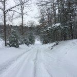
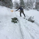
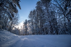
We left early in case it took us awhile to get to camp so we would still have plenty of time to set up our shelter. That was a good call. The roads had definitely not been plowed and we struggled through knee deep snow until we found ourselves facing a rather steep climb, with nowhere to turn around if we didn’t make it. Attempt number 1 wasn’t even close. So we got the shovel out and cleared the road. Next we cut some branches down and laid them on the road, perpendicular to the direction we were going, on the steepest part of the climb, to assist with traction. It worked! We made it to the campground shortly after that without issue.
- This hill gave us some trouble
- Trying to make it to camp
- Frozen Guernsey Lake
- Site 22
- Camp
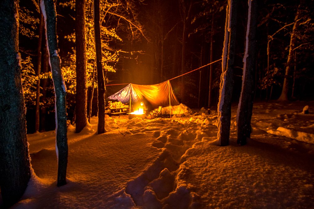
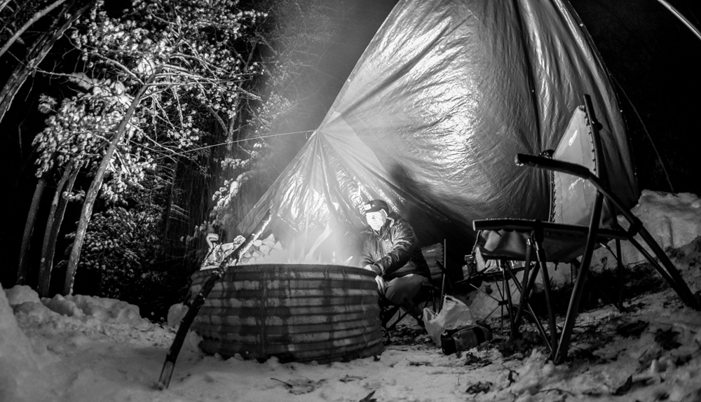
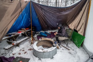
Our top 2 priorities once we arrived were 1) get a fire going, & 2) build our shelter. The low that night was going to be 15 degrees with 15 mph north winds, making it feel like it was around 0 degrees. We originally planned to sleep in hammocks to keep ourselves off the cold ground, but weren’t able to find a decent grouping of trees where we could hang them near the fire, while also putting our tarps up to block the wind. So we ended up cutting some pine boughs to make our “beds” on the ground, next to the fire. Underneath that we laid a tarp so when the fire melted the snow underneath us, we wouldn’t get wet. On top of the pine boughs we had Therma-Rests, and then sleeping bags.
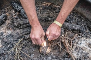
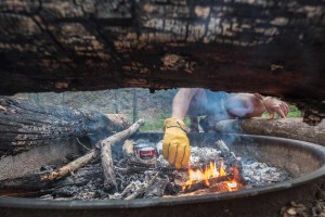
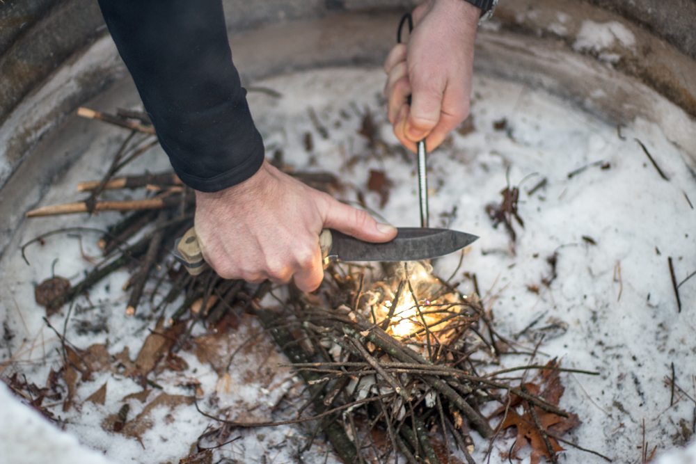
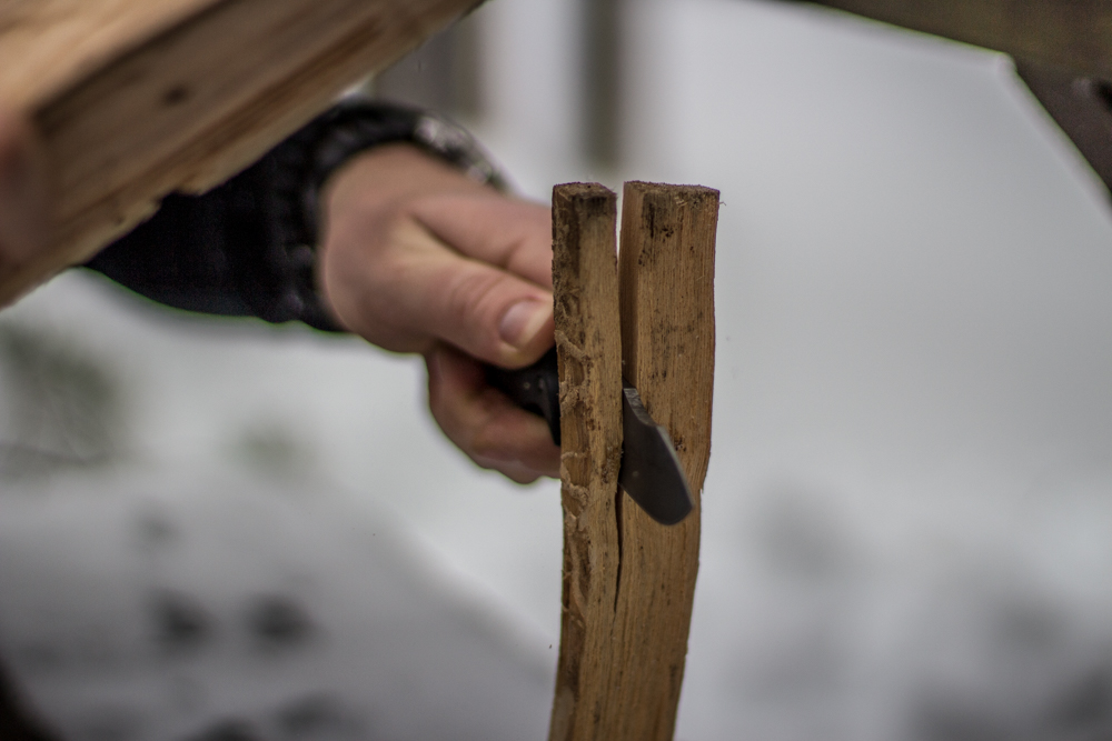
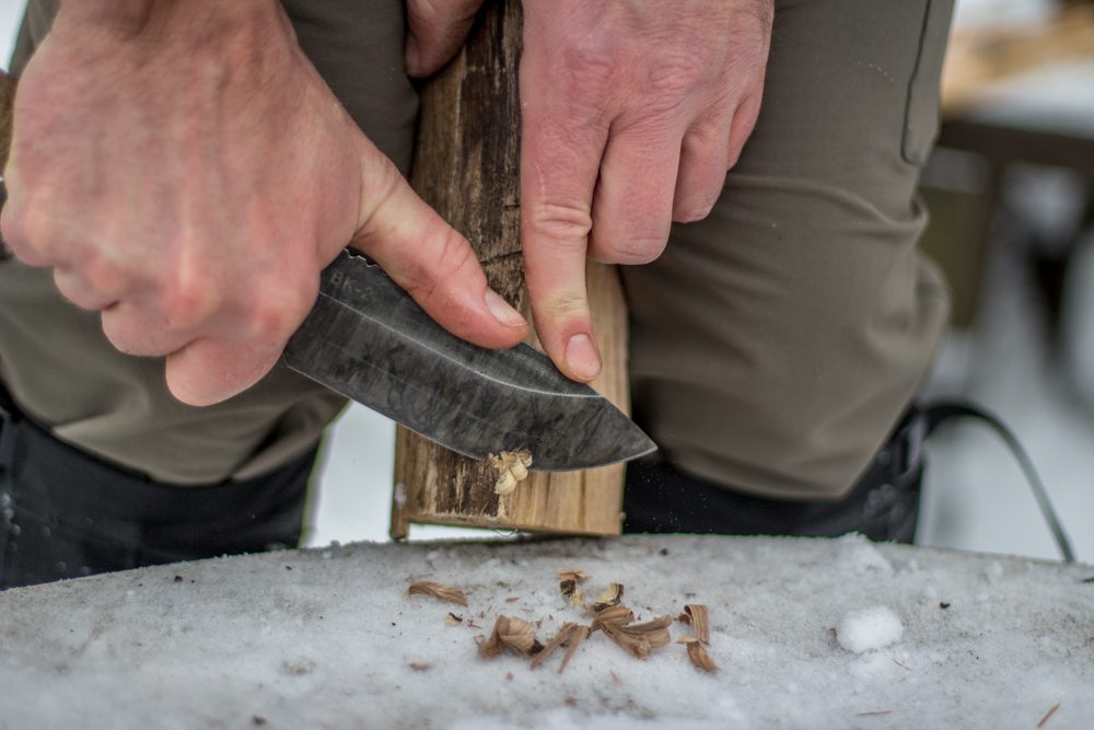
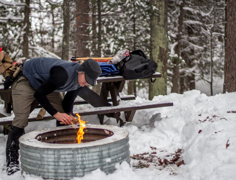
We brought some firewood, but were able to harvest more from dead trees we found in the woods. The key to using that wood is having a hatchet or bushcraft knife so it can be split open to get to the dry wood inside. Despite the fact that we brought matches, Jason decided to light the fire in true badass bushcraft manner, using a ferro rod and his knife.
- Splitting Firewood
- Wood shavings for starting the fire
With the fire made, plenty of firewood, and our tarps up, it was time to relax until nightfall when we planned to do some light-painting photography. We heated up some soup in the fire and took a couple nips of bourbon to keep our bellies warm.
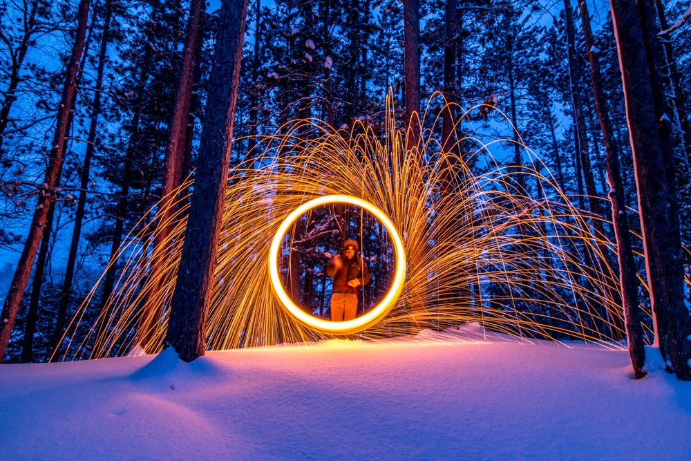
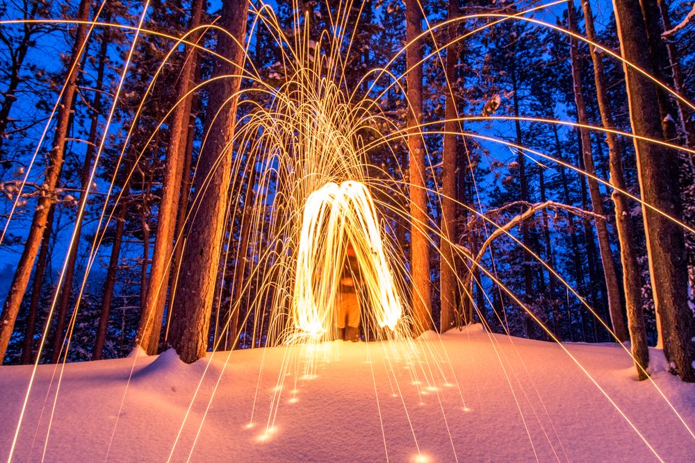
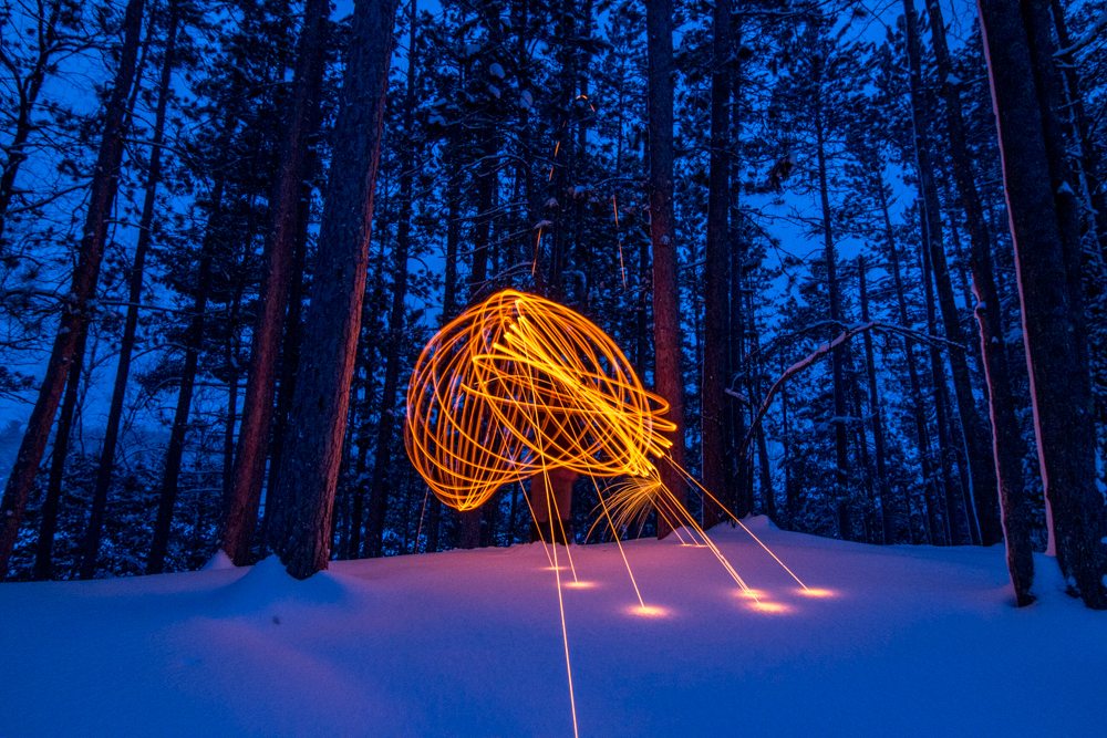
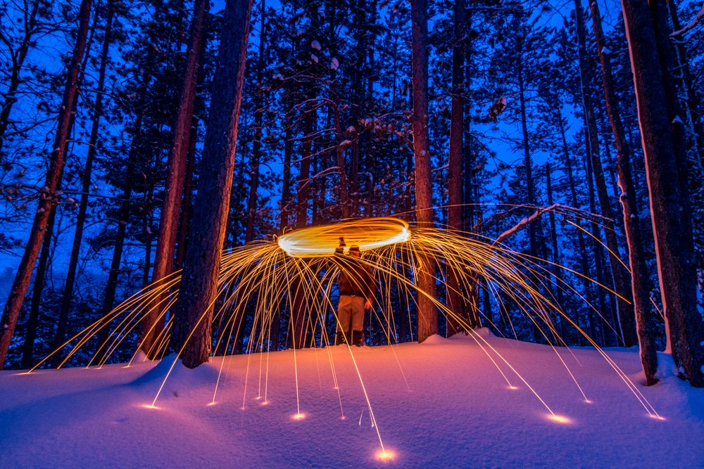
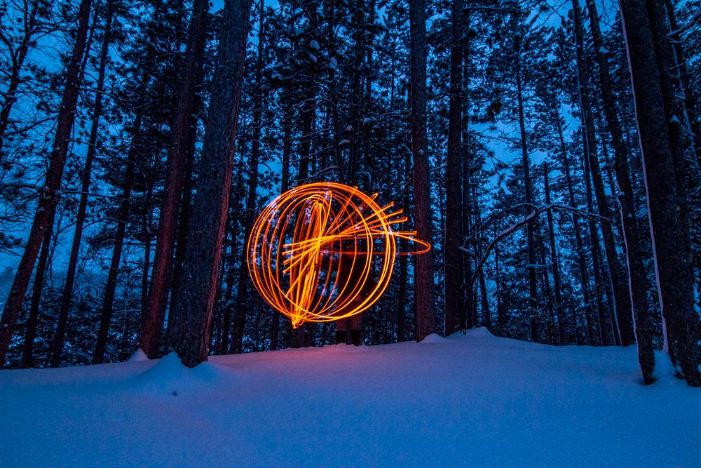
Once the sun set we got out our camera gear and had some fun lighting steel wool on fire for some cool long exposure photos.
- Light Painting
- Light Painting
- Light Painting
- Light Painting
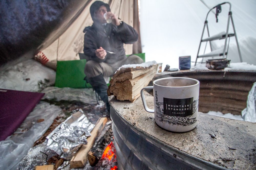
After our camera batteries died (rather quickly from the cold), it was time to settle in for the night. For additional warmth, we took some coals from the fire and laid them on heavy duty aluminum foil near our sleeping area and used wet logs as a barrier between us and the fire. This worked remarkably well as we remained comfortable all night.
After a quick breakfast the next morning, it was time to head home as both of us had family/holiday obligations. However, we did briefly discuss when we could get out again and are trying to fit in a multi-day trip later this winter. Hopefully the weather is a little kinder next time!
- Making Breakfast
- It snowed. A lot.
- Sunshine!
While Jason and I are both experienced campers (Jason much more than me), we learned a ton during this trip and would do a few things differently. Between what we knew beforehand and learned on this trip, we put together a hit list of winter camping tips:
1) Layer! We all hear this a lot, but it is truly important. Between shoveling snow and sitting down doing nothing, our heat levels changed drastically within minutes (especially when we were sweaty from the exertion of shoveling snow or chopping wood), so it was important to be able to shed and add layers quickly. For me personally, I had a long sleeve wool baselayer (wool is awesome! wicking, quick drying, breathable, & warm!), thick flannel shirt, and then a down jacket for when I wasn’t moving around. I also wore midweight capilene “long johns” underneath softshell pants, tall wool socks, and high winter boots.
2) Be prepared to adapt. We arrived at the campground with the intention of sleeping in hammocks, but knew that we may not be able to find trees that were suitable, so we also brought sleeping pads, which we ended up using.
3) Purchase and throw some painters’ tarps in your gear kit. We had our usual tarps (I have two of these and use them all the time, not just for camping) to build our shelter, but later in the evening the wind started swirling through the winds, constantly changing directions, and we had to bust these out to add walls to our shelters. They’re cheap and worked marvelously in keeping the wind out.
4) Know your down/insulation. Down is known for its amazing warmth to weight ratio, but many people don’t know that it can’t get wet. If it does it loses its thermal capabilities and is also awfully difficult to get dry. If it’s going to be wet, rainy, or snowing heavily, use synthetic insulation.
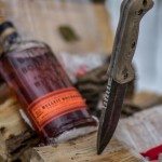
5) Bring a good bushcraft knife. For car camping this may seem unnecessary, but we both had ours, and used them constantly. From cutting down bedding, to splitting firewood, to starting our fire, to preparing our meals, they’ll come in handy. Jason uses a KA-BAR Becker BK-2, a great knife that can be found online for around $75 (awesome value). I brought my Tops Black Rhino and was very pleased with its usefulness and quality. The thickness of the Black Rhino made splitting wood incredibly fast and easy.
6) Invest in good boots and gloves/mittens. There were a few times during the night when my back and face got a little cold, but my fingers and toes were warm and that kept me happy. If your digits get cold, it’ll ruin your trip incredibly quickly.
A few winter photography specific tips:
7) Bring extra camera batteries and keep them in your pocket, close to your body, so they stay warm. My batteries died pretty quickly in the freezing temps, but I had plenty of extra and so was able to keep shooting.
8) Try to keep your camera away from your body. If it gets too close, or if you breath on it, you’ll cause condensation to form. If you do get condensation on your lens, make sure you have a microfiber cloth to wipe it off with.
9) I prefer fingerless gloves when shooting in cold weather. I can keep my fingers warm when I’m not actively taking photos and also quickly get my fingers out to use my camera, without having to completely remove my glove/mitten. I used these from Outdoor Research and they work very well (although there are warmer ones).
10) It gets dark early in the winter so make the most of that. We did so by bringing steel wool to do some long-exposure light painting. It was a total blast and kept us from just sitting around the fire drinking bourbon.
Any other winter camping tips or stories? We’d love to hear from you! Please feel free to share in the comments.
Exploring Emmet County
- At August 05, 2015
- By Brian
- In Brian's posts, Cycling, Places
 0
0
There are a few things I’ve been wanting to check out recently, the Little Traverse Wheelway, the tunnel of trees on M-119, and Legs Inn in Cross Village. Why not tick off all 3 in one go? That’s what I decided to do during a recent camping weekend at Fisherman’s Island.
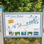
I spend most of my time in the three-county region of Grand Traverse (where I live), Antrim (where I work), and Leelanau (where I play), but there’s plenty of scenic offerings and adventures to be had a little farther north. Fisherman’s Island is just a few miles south of Charlevoix, so about a 55 minute drive north up US 31 from Traverse City. The Little Traverse Wheelway is a paved trail that starts on the north side of Charlevoix and runs approximately 26 miles along the coast through Petoskey to Harbor Springs. From the start in Charlevoix to Petoskey it’s about 20 miles, and then another 6 to the end in Harbor Springs.
For the first dozen or so miles it runs along US 31, but as it nears Petoskey there are numerous overlooks to stop and soak in the view. The trail is well marked, even on the part that runs on the road and through a parking lot in Petoskey. It’s a great opportunity for beginner cyclists to get some miles under their belts as there are no big climbs and no vehicles to contend with. The long-term plan is to eventually connect the TART that ends in Acme to this trail in Charlevoix via Elk Rapids, but that’s likely a few years away. And by few I mean 10.
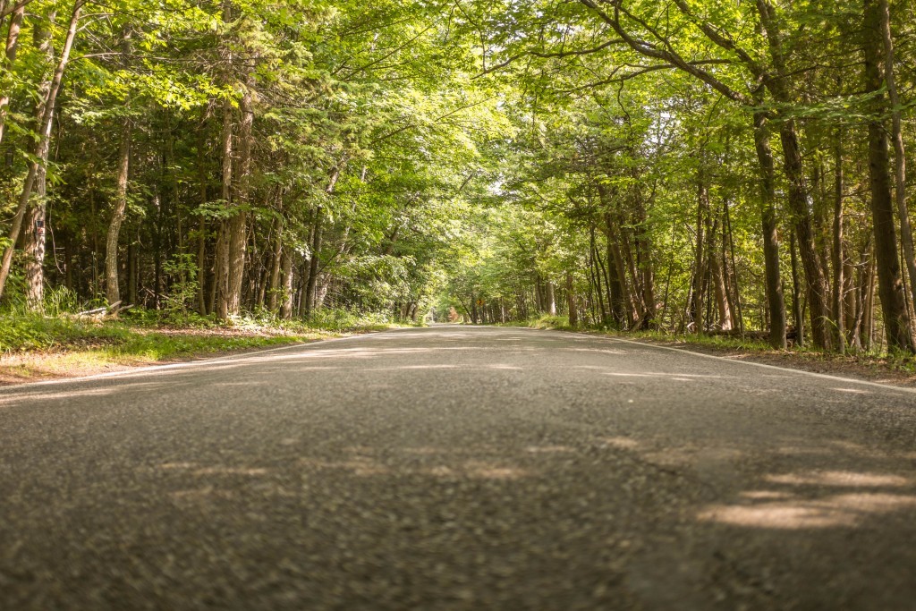
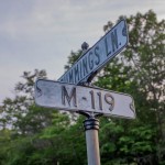
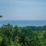
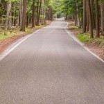
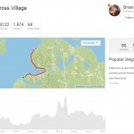
The trail currently ends in Harbor Springs, but that’s the part I was really looking forward to as I’d heard the tunnel of trees on M-119 is a great cycling route. The overlooks and scenery did not disappoint and this route is definitely on my to-do list during the fall when the colors start to turn. The road does not have any shoulder and is winding and narrow, but all the vehicles (mostly motorcycles) that passed me were driving leisurely and I felt totally safe the entire ride. From Harbor Springs to Cross Village is a little under 20 miles with some gently rolling hills (don’t be fooled by the course profile below, there weren’t any steep or sustained climbs).
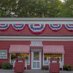
If you need a mid-ride re-supply, stop at the quaint Good Hart General Store. I was in a bit of a rush to make sure I arrived timely for dinner, but I did stop for a quick photo.
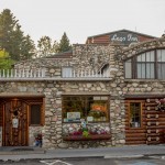
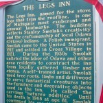
The thought of homemade Polish food (& beer) at Legs Inn kept me going through the last few miles on what was a very hot summer day. The rest of the family was driving up from our campsite and everything was timed perfectly as we rolled into the parking lot a few minutes apart (they took a wrong turn and skipped the tunnel of trees, but it ended up working out timing wise). It also gave me the victory!
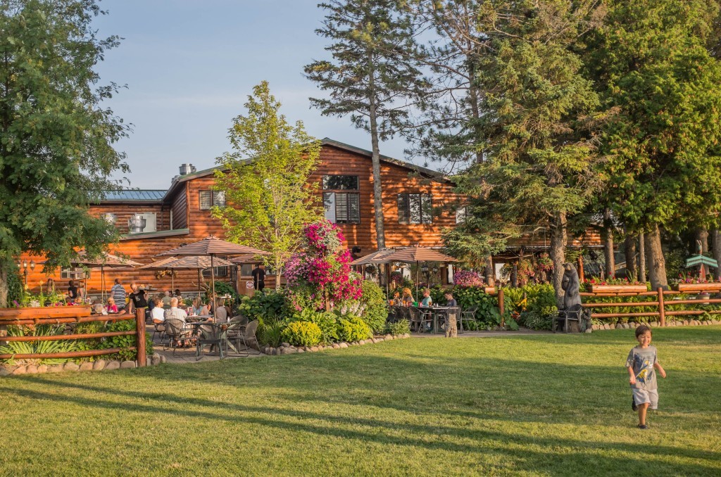
Legs Inn is located on a bluff facing west over Lake Michigan. Despite our voracious hunger, we decided to wait a half hour for a table outside in the garden. There’s a large lawn next to the garden where kids were running around as the sun started to dip and the temps dropped. A few cold beers and a giant plate of Polish food had everybody extremely satisfied. We’ve already scheduled our return trip!
Ultimately a pretty amazing summer day. Getting back to camp and roasting marshmallows over the fire capped it all off. I typically spend my bike rides in Leelanau County, but will be back up north as soon as I can.

